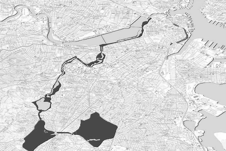
Boston’s Central Artery has the potential to become an additional link to the city’s historic park system, the Emerald Necklace designed by the Olmsted firm. Its dimensions and linearity, evoking a river and its banks, could easily transition into the city’s already well-established system of parks. The incredible conquest of this piece of territory gives it, paradoxically, a certain virginity, or at the very least it recalls the approach practiced in the 19th century. The prevailing naturalism of this period is appropriate for such a site, even today, and appears to be of a great modernity.
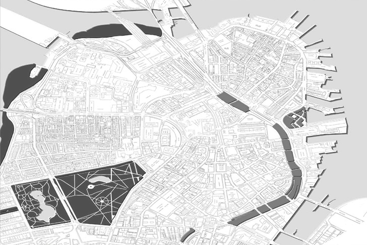
The proposal for the Central artery is not only to redefine its public spaces, but also to develop the invention of an elementary landscape, essential at the scale of this emblematic area of the city. We imagine a powerful tree layer, unitary, geographic, a sort of green pedestal for the city. This landscape spreads into certain lateral ramifications, as well as, towards the south in the form of a temporary landscape, nearly doubling its initial length.
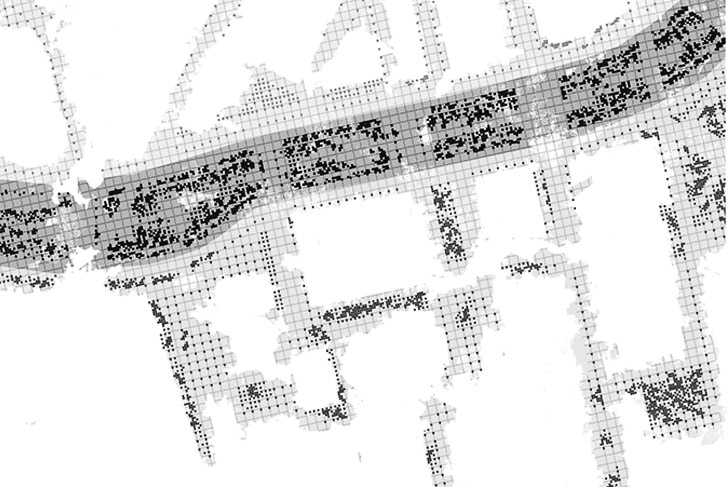
The device we propose is also the adaptation of forest techniques in an urban environment. As in forest plantations, the trees are organized on an orthogonal grid simplifying the plantation and the maintenance. In an urban situation, the regular geometry allows a great visual transparency despite the tree density. This grid could also be considered as a pixel matrix, producing organic forms from a high density of points.
Massachussetts authority, Turnpike
MDP Michel Desvigne Paysagiste
3 ha (7,4 acres)