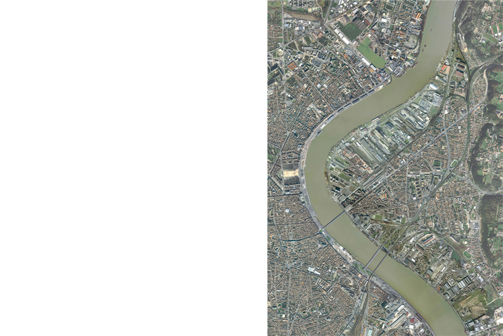
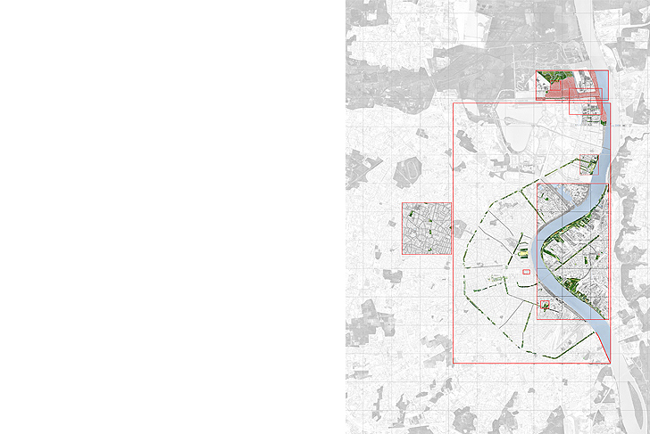
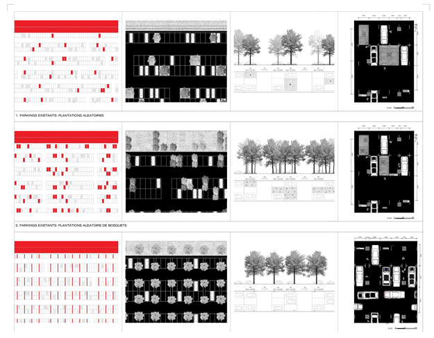
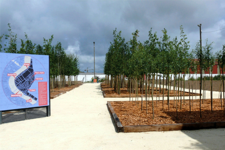
If the major public spaces of the city of Bordeaux's center had been the subject of dramatic transformations (construction of the quays and accompanying features for the tramway), its general landscape remained undefined in 2002. This city of relatively low density is indeed very spread out. Its green spaces are unequally distributed throughout, and vary significantly in quality, thus failing to create a legible organization appropriate to the scale of such a diffuse city. Bordeaux's elected representatives wished to adopt a “vision” capable of transforming their landscape, as well as tools – guidelines – for its coherent construction.
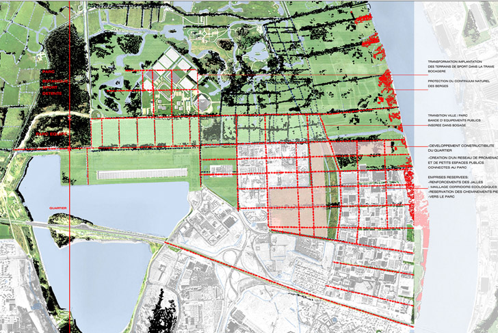
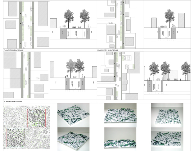
The method we proposed was to proceed by case studies, both helping to define a formative language for the guidelines, as well as serving as an exploratory means of approaching the entirety of this complex territory. The formulation of ten or so projects over a year allowed for the definition of an aesthetic for the territory, during which knowledge and experience were shared among the actors involved. A knowledge that was interested in the project's procedures as much as in its choices of material.
Each month we engaged in a collective exercise in situ: for each site we identified the problematic issues stratum by stratum (spatial unities, boundaries, typology, grading, ground and soil, vegetal configuration...). Stratum by stratum, conceiving of as many hypothetical transformations as possible, we worked out processes based on choice. An empirical pedagogy that continued to develop all the way up until the construction of prototypes. This experience of inquiry took the place of classic regulatory documents.
City of Bordeaux
MDP Michel Desvigne Paysagiste
1850 ha (4570 acres)