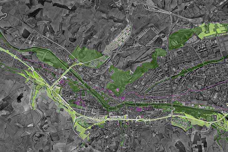
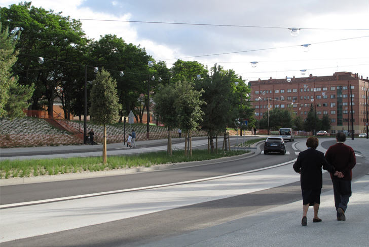
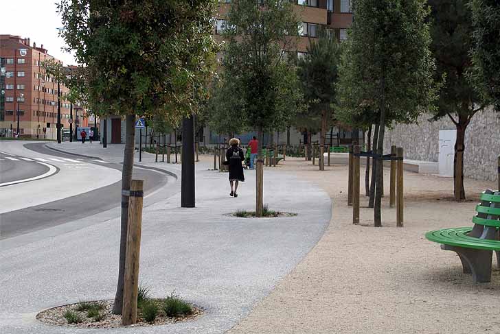
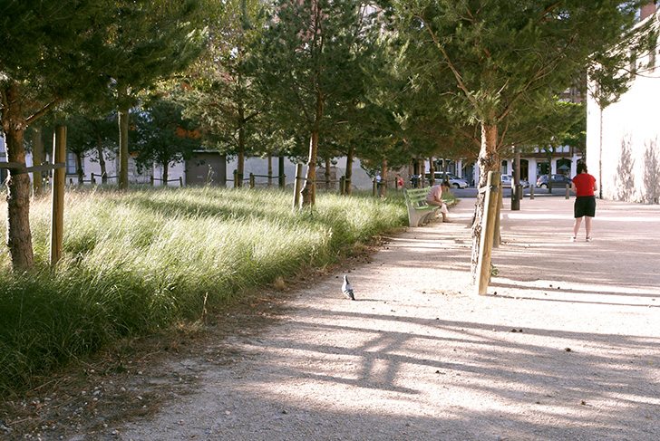
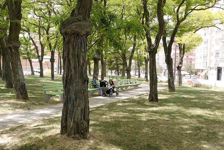
The aim here was to replace the network of railway tracks that had fallen into disuse with neighborhoods organized around a principal boulevard. Herzog & de Meuron conceived of the project in the form of pockets of intensity separated by empty spaces, with the structure as a whole gliding smoothly through the city. The idea also took on certain qualities from the “artificial” geography of the site: the infrastructure landscape provided its own form of naturalness. Through its dimensions and layout, it helped shape the territory to the same extent as the wooded hills or the river surrounding. The public spaces running alongside or liberally bordering the boulevard are designed and formed under its sway. What results is not a linear and continuous structure, like a great number of 19th century urban boulevards, but rather a complex structure incorporating together the various rises and falls of the landscape, as well as, in places, new urban forms. It is a landscape powerful in its presence, but subtle in the way it seeks to respect and reveal the territory's numerous components. There are two different scales affected: the larger scale of forested areas and prairies, and the smaller scale of sidewalks, squares, and gardens. A forest configuration is superimposed over the diverse number of more mineral public spaces.
Consorcio para la gestión de la variante ferroviaria de Burgos, Spain.
Herzog & de Meuron, Architects (lead consultant) / MDP Michel Desvigne Paysagiste / Hydra, local botanist / MBG Ingenieria y Arquitectura SL, engineers
2 800 ha (6920 acres)
- Schedule : Studies: 2006-2009 / Realization: 2008-2012
- Length
12 km of urban boulevard