Following the drawing up of the master development plan for the insular territory situated between the Moselle river, the raised railway space, and the canal with its locks, the first phase of recovery was begun around the train station sector. This phase includes the planning and development of the station's entrance and interchange area, and of the site's point of accessibility, provided by the only road connecting the island on which the site stands to the city center and the city's southern neighborhoods.
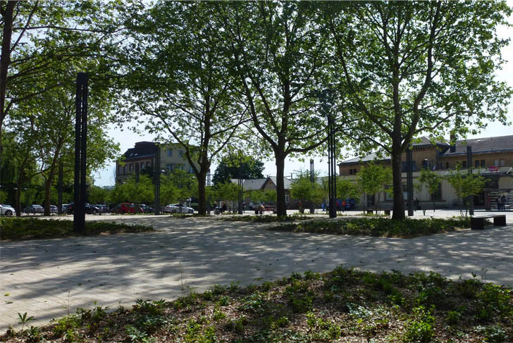
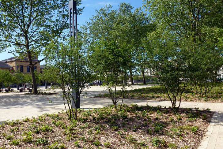
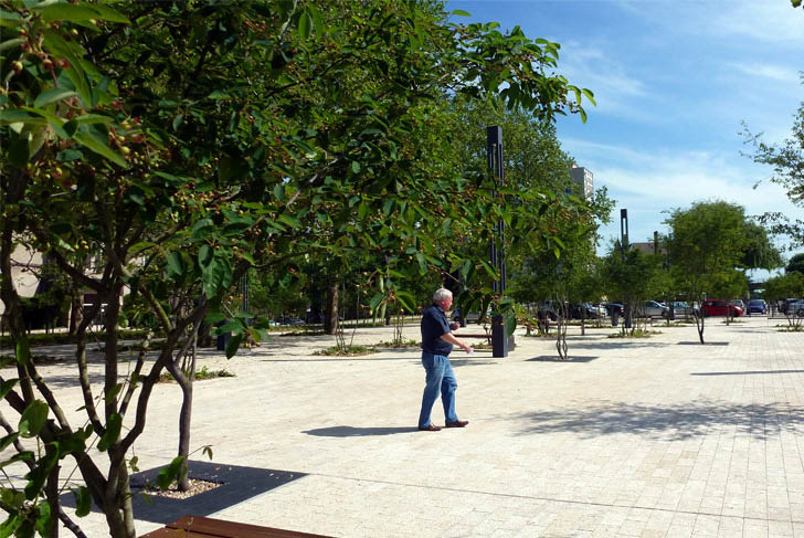
The focus is on the creation of a large landscaped urban space that successfully integrates the surrounding network of roads, necessary for opening up the site, the redevelopment of the train station's facing square, and the organization of both service roads for public transport and parking spaces. In front of the station's new interchange area, we conceived of a public space whose typology remains intermediate. The space evokes a square in how it is utilized and its mineral surfacing, while nonetheless being positioned within a park with a strong presence of vegetation.
On the ground, paving allows for the unification of the numerous and complex layouts stemming from the diverse functions of the site, such as its road network, service roads, dropping off and parking areas. Taking advantage of the presence of large trees on the site, the redevelopment of the square in front of the station evokes the more recent transformations that have taken place in the historical center of the city.
For us, the square functions as well as a sort of prototype for the future treatment of the island's other public spaces. In particular, it initiates the redevelopment of the street into a “parkway”. Set in place prior to the design of the larger urban development zone (ZAC), this new public space provides a qualitative context in which the future housing programs planned for the northeast of the island can develop.
City of Thionville
Michel Desvigne, Paysagiste
AREP
Roger Schott, architecte associé
4 ha ( 10 acres )