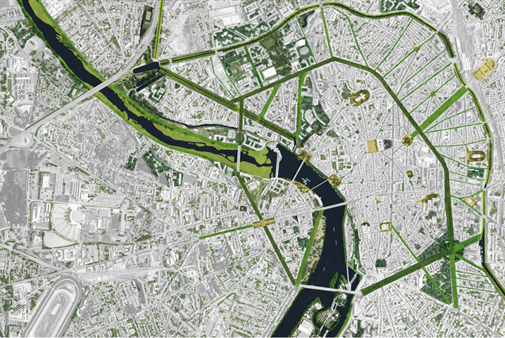
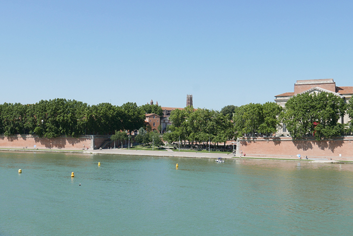
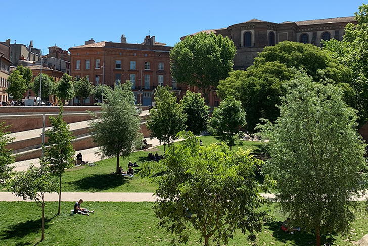
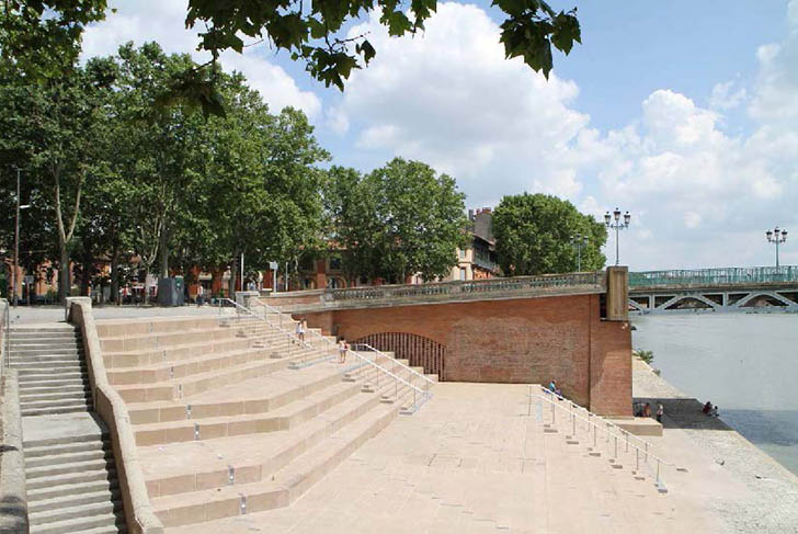
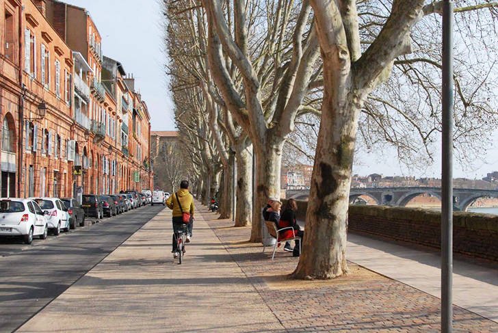
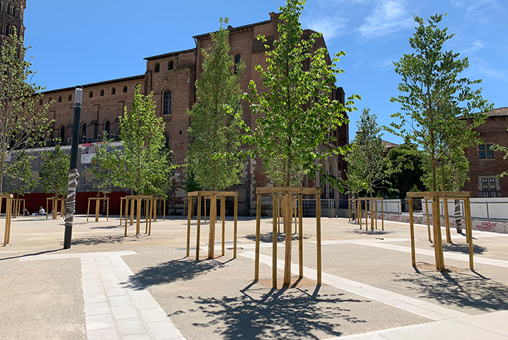
The Toulouse landscape is deeply informed by the interplay between the city’s geography and its history. The river, canal, and former ramparts have shaped a landscape that unites waterways, trees, and infrastructure, creating an extraordinary symbiotic harmony between the planted environment and the urban environment. In the city center, cultivating a cohesive connection between urban infrastructure and public spaces calls for progressively implementing strategic landscape interventions at key sites. Our work in redesigning these public spaces has led to the creation of a structured network linking together the city’s vibrant, striking, and historically significant sites. Our urban development plan for the city of Toulouse is driven by landscape compositions that center high-quality materials and dense vegetation, consciously amplifying the harmony that reverberates through the city center landscape. Our landscape design projects in this city were awarded the 2016 Défis Urbains Prize (“Urban Challenges” Prize), and were among the finalists for the 2022 European Prize for Urban Public Space.
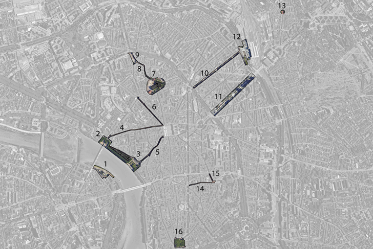
Public space landscape design projects carried out by MDP in Toulouse (see project images for map): 1. Port Viguerie/ 2. Place de la Daurade / 3. Place Saint-Pierre / 4. Rue Pargaminière / 5. Rue Gambetta / 6. Rue des Lois / 7. Place Saint-Sernin / 8. Place Gatien Arnault / 9. Place Arnault Bernard / 10. Rue de Bayard / 11. Allées Jean Jaurès / 12. Parvis Matabiau / 13. Place Aragon / 14. Rue Croix-Baragnon / 15. Rue Boulbonne / 16. Place du Salin
Communauté urbaine Le Grand Toulouse
MDP Michel Desvigne Paysagiste / AU-B Architectura l’Urbanisme LSP (mandataire) / EGIS France / Marc Aurel
600 ha (1482 acres)
Award: Prix Les défis urbains 2016